
 Contact-us

Our expertise to value data

Our ambition is to enable you to increase the performance of your infrastructures; to contribute to a better control of risks, to strengthen the environmental quality of the management of your infrastructures and to advance your work projects in a predictable way.
We have therefore developed a suite of software that allows a better knowledge of infrastructures through:
- automation of large-scale LiDAR 3D data processing
- the detection of geometric, thermal and vegetable defects
- classification of elements in the point cloud
- data visualization via a web page
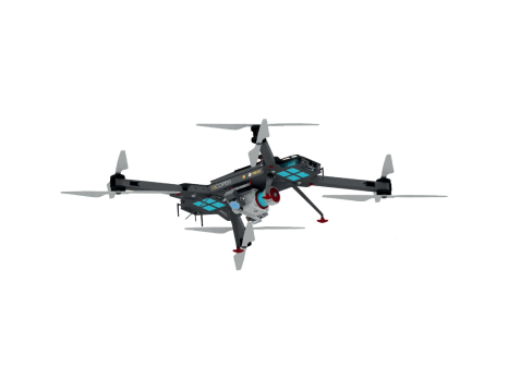
From the very beginning, we established ourselves as pioneers in the civil use of drones for industrial maintenance purposes.
We were notably at the heart of developing our fixed-wing drone, the DT26, in collaboration with the manufacturer DELAIR, and we actively contributed to regulatory work with the French Civil Aviation Authority (DGAC) for the introduction of this drone to the market.
Today, this state-of-the-art drone remains one of our flagship tools for agile data capture, but it is not the only one.
Ultimately, regardless of the means used, our goal has always been to provide high‑quality, actionable information to infrastructure managers.

As a subsidiary of a major railway group, we have developed strong expertise in the deliverables required for railway topography.
Topographic maps, orthophotos, digital terrain models… we collect and compile large volumes of data to provide infrastructure managers with actionable insights essential for optimizing maintenance.


They’re talking about us in the press
Our performance is proven and approved by our clients and partners


.png "Magazines Mockup, Top View (2)")