
Diagnose rock and coated walls
Stone and rockfall, landslides, erosion... Rocky slopes located near railway tracks pose risks that can have serious consequences for the safety of train operations, passengers, and railway personnel : track obstructions, damage to infrastructure, or derailment.
To mitigate these risks, regular monitoring of these installations is essential.
|
Customer needs |
Ensure the safety of slopes and rock cuttings |
|
|
Types of data analyzed |
3D LiDAR images and point clouds |
|
|
Data acquisition method |
Drone equipped with a LiDAR sensor |
|
|
Method of using the digital twin |
1 |
30-minute flight over an area 1 kilometer wide and 500 meters high every 3 months |
| 2 |
Creation of an orthophotograph and a 2D topographic elevation map |
|
| 3 |
Identification of defects or anomalies that could impact the railway network |
|
|
Benefits for the client |
|
|
|
What is LiDAR ? |
|
LiDAR, which stands for "Light Detection and Ranging" or "Laser Imaging Detection and Ranging," is a distance measurement technique based on the analysis of the properties of a light beam returned to its emitter. A LiDAR system is an optoelectronic device consisting of a laser emitter, a receiver with a light collector (such as a telescope or other optics), and a photodetector that converts light into an electrical signal. It also includes an electronic signal processing chain that extracts the desired information. LiDAR data collected forms a three-dimensional point cloud with up to 7,000 points per square meter, providing a highly detailed and precise level of information. |
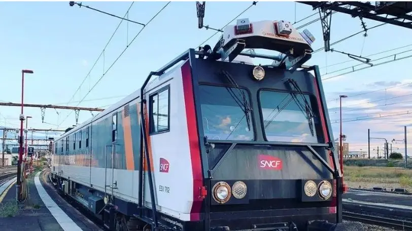
What is a Track Inspection Vehicle (TIV) ?


 Contact us!

.webp?width=51&height=51&name=acquisition%20(1).webp)
