.webp?width=503&height=692&name=Analyser%20les%20gabarits%20ferroviaires%20(2).webp)
Analyze railway gauges
Management of clearances and railway gauges; detection of obstacles in standard and enhanced profiles (depending on the lines), low-lying obstacles, those related to catenary contact wires, as well as measurements of track spacing
|
Client needs |
Determine the geometric position (height and offset) of the contact wire(s) in the catenary relative to the track when at rest, and know the geometric position at the catenary support points |
|
|
Types of data analyzed |
3D LiDAR point clouds |
|
|
Data acquisition method |
Track Inspection Train (TIV) |
|
|
|
1 |
Track Extraction: Vectorization of the traveled track |
| 2 |
Cataloging the nominal clearance profiles for high and low obstacles along the track |
|
| 3 |
Track spacing measurements |
|
|
Method of using the digital twin |
4 |
Modeling of rolling stock passage |
|
|
5 |
Detection of obstacles related to catenary contact wires and the overhead contact line |
|
|
6 |
Localization and characterization of gauges obstacles in the GAIA heritage database |
|
Benefits for the client |
|
|
|
What is LiDAR ? |
LiDAR, which stands for "Light Detection and Ranging" or "Laser Imaging Detection and Ranging," is a distance measurement technique based on the analysis of the properties of a light beam returned to its 'emitter.
A LiDAR system is an optoelectronic device consisting of a laser emitter, a receiver with a light collector (such as a telescope or other optics), and a photodetector that converts light into an electrical signal. It also includes an electronic signal processing chain that extracts the desired information.
LiDAR data collected forms a three-dimensional point cloud with up to 7,000 points per square meter, providing a highly detailed and precise level of information.
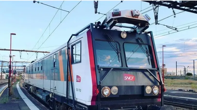
What is a Track Inspection Vehicle (TIV) ?


 Contact us!

.webp?width=51&height=51&name=acquisition%20(1).webp)
